This day always had potential, but
instability was best right on the coastal margin. I waited
for storms to develop in a more favourable environment to my
south, but the first decent storm actually went up to my west and
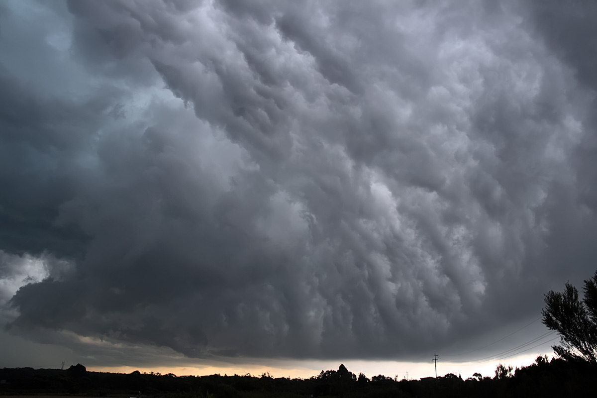
tracked north onto the escarpment plateau just north of Wollongong. At
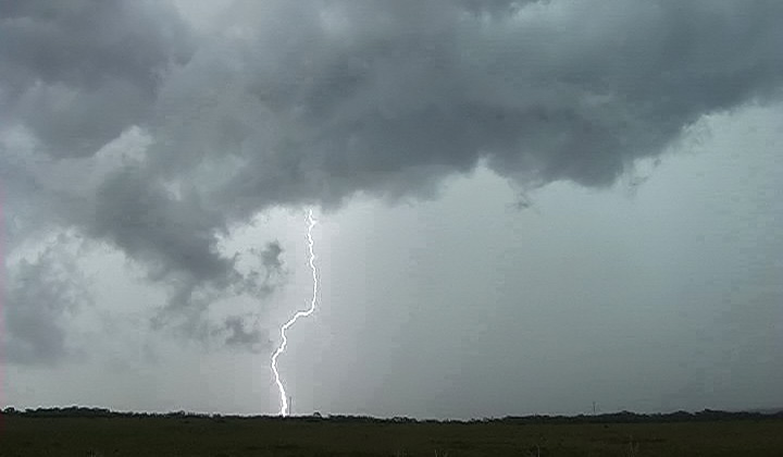
this stage the storm was still building and weak inflow
features can be seen.
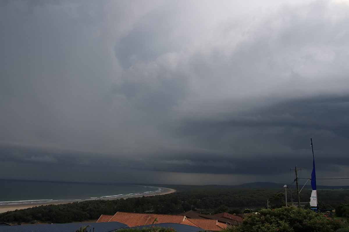
As
the storm approached it quickly become very outflow dominated.
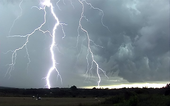
So outflow dominated the storm
became it developed a 'whales mouth' feature. At this stage I
thought the days show was over, however a quick radar update
at a WiFi hotspot revealed a much more powerful storm had
developed in the more favourable conditions about 90 mins south of me
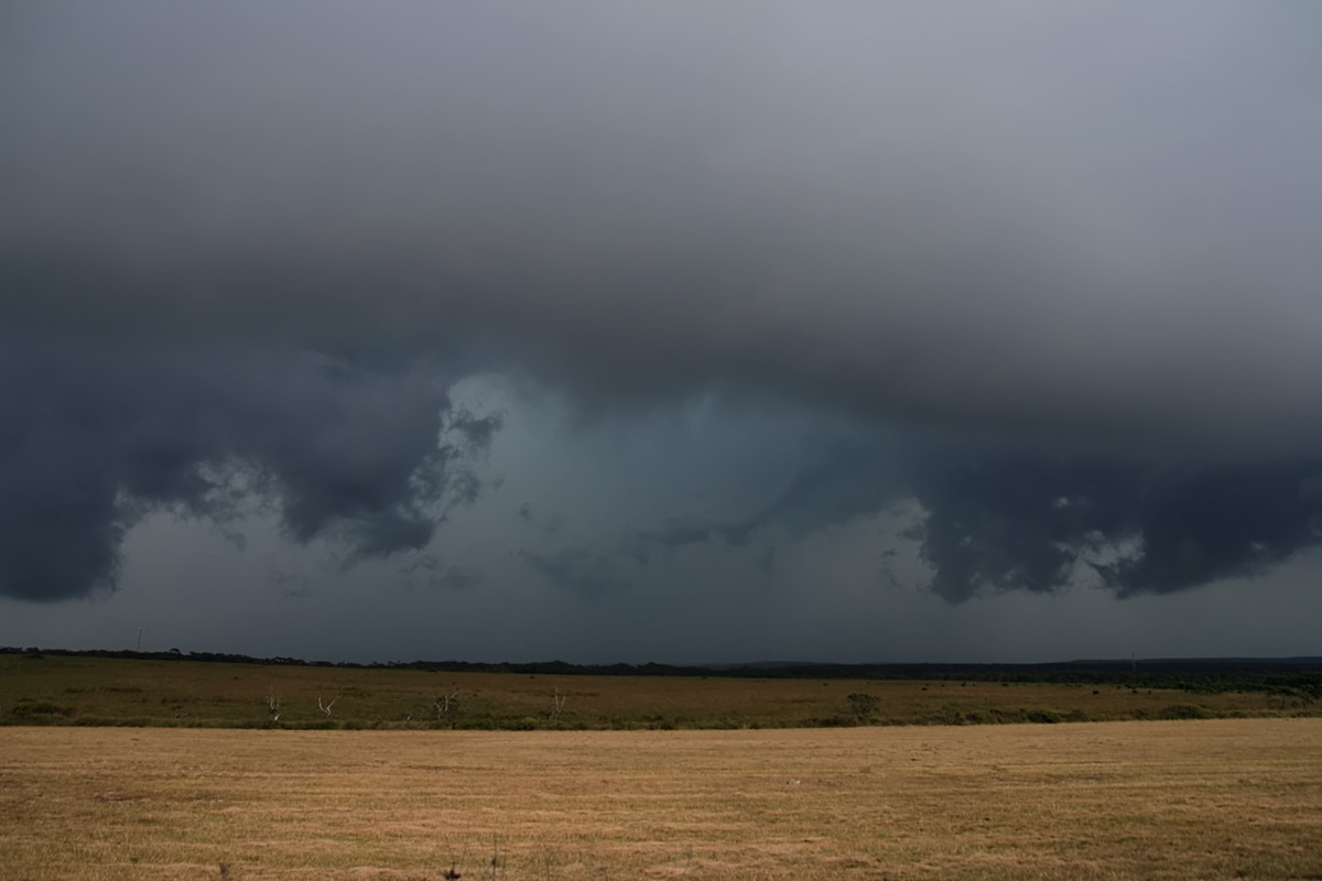
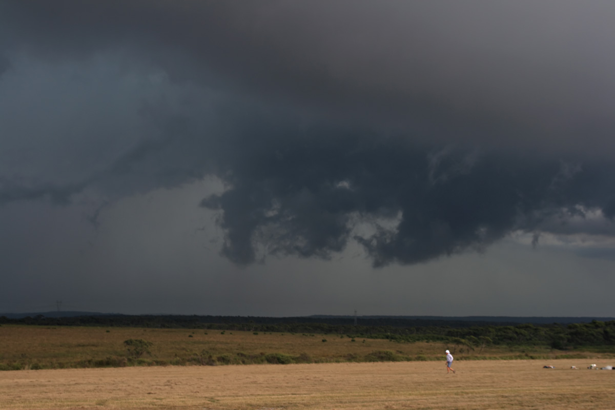
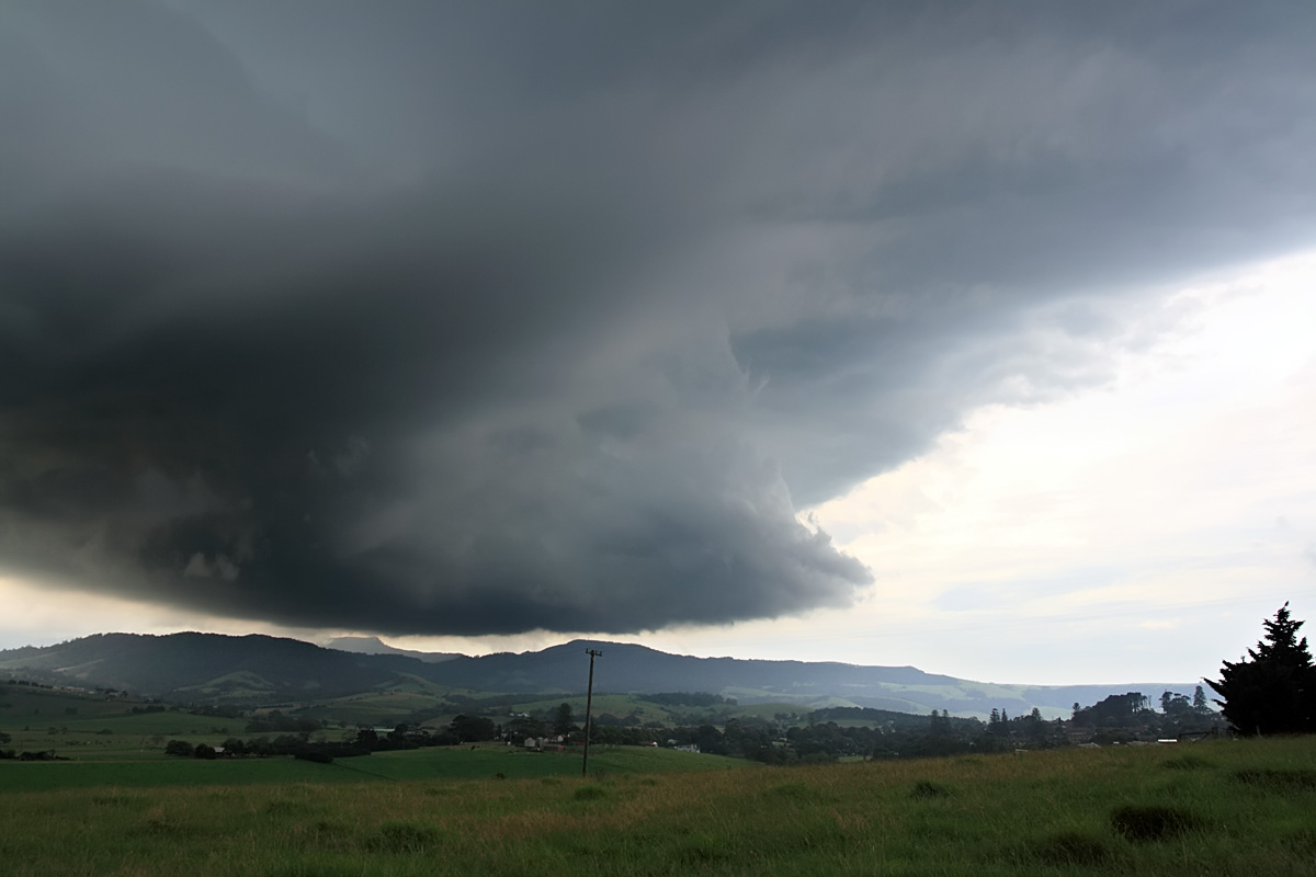
When I finally intercepted this more
powerful storm its features were obscured somewhat by hazy high
overcast, however there is the hint a supercell structure, a long
inflow band and a weak meso like area (just left of the blue flag, also
the updraft barrel of the storm is faintly visible.
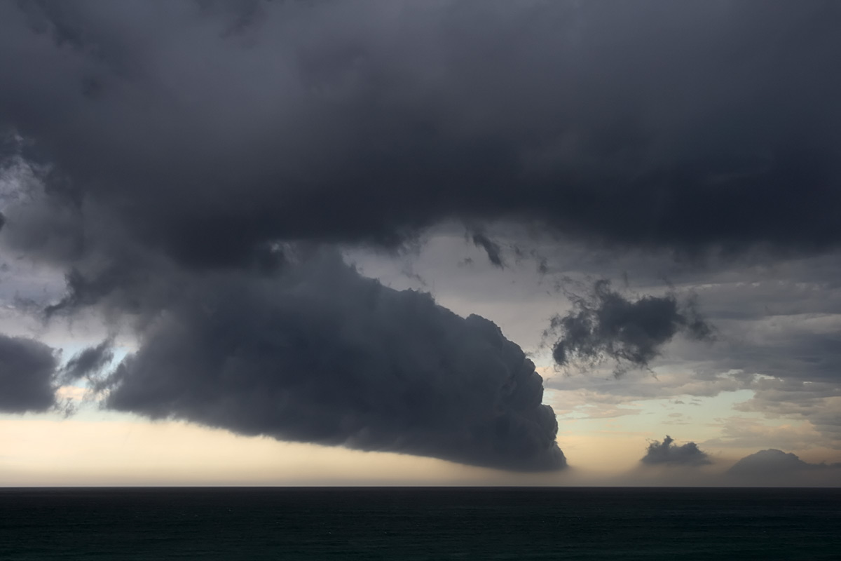
The storm moved rather
quickly in a NE direction. When it reached the
Mount Saddleback area near Kiama I was getting rather excited as storms
can develop from extra uplift around this range.
When I drove over the range the rain was torrential. However
the storm stuck to its NE track and tracked off shore and died.

