Storm Chase Tour - Sept & Oct 98.PART
2 - Some action at last, but bad timing yet again.
. The evening after the storm chasers meeting I returned home to await the recommencement of the chase tour. Conditions back in Shellharbour were quite dry, some cumulus had formed briefly further southwards, but had cleared by sunset. Around 11pm the cool change came through, just as wind change.
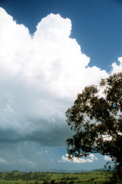
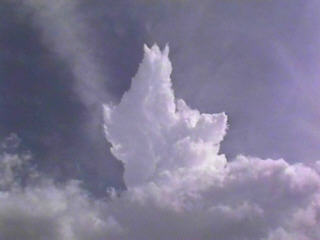
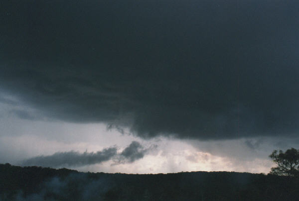
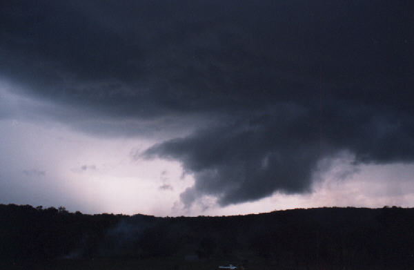
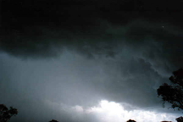
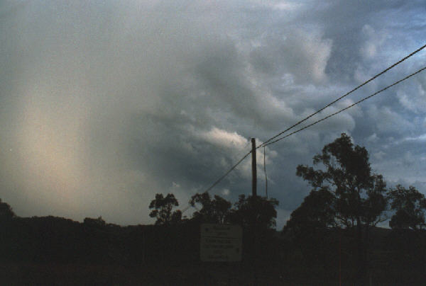
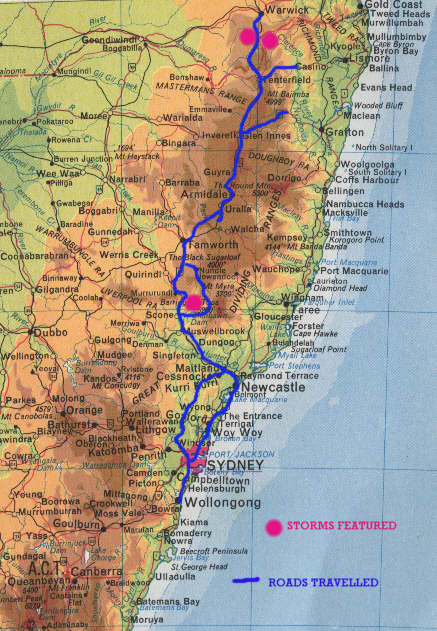
Next morning and Jimmy was excited again, Castellanus cloud again. The front had stalled and now a trough remained behind situated over northern New South Wales and south east Queensland. We decided not to make any rash decisions about where to chase, but felt better in driving just a little further up the road to Tenterfield. After a slow lunch in Tenterfield we found a high point and checked our options, a fairly decent tower was going up to the south, we dismissed this as it would drift east of the Hwy into the rugged escarpment country. Just to the southwest another healthy cumulus was just starting to glaciate, whilst to the north west a smaller cell had taken our interest as it had displayed a persistent rain shaft for over half an hour. We decided to head a little further northwards, in next few kilometres, the activity to the north west intensified rapidly. At the small town of Ballandean in Queensland we encountered heavy rain, we pulled over to look for the best road routes to take us close to this developing storm. The best option was to head along the road to the infamous Storm King Dam. About 10 kilometres along the road we exited the rain area and pulled over to get some nice photos of outflow scud being drawn into the a neighbouring updraft region.
As we took the photos we were
made aware that the lightning although not overly active was all CG's
close to us, this and the approaching heavy rain curtain made us move
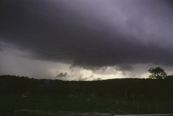
again. Another 5 minutes and we were at Storm King Dam itself, the storm
had now intensified and we could see hail falling from the rear. No
sooner had we pulled over an exited our cars a CG flashed and then a
cannon blast of thunder, I do not know how close it was, but it is only
the second time in my life that I have heard thunder echo off nearby
objects, in this case the initial crack was followed milli seconds later
by several staggered echoes off the nearby tree trunks. We took some
quick video and photos and Next morning was high and middle layer cloud heaven, not what four storm hungry chasers had in mind. We went and checked the internet from the local library, it looked poor, the front was moving very rapidly and basically had bulldozed yesterdays weak trough line away. Dry air from the continents interior was being drawn down ahead of this front. The general group prognosis was that any pre frontal storms would be unlikely, but a squall line storm would be possible later that evening. That is pretty much how it panned out, a weak storm accompanied the cold front at around 11pm with some rain, but basically it was a flop. Next morning and another debate, we could see Jimmy's pet cloud, Castellanus on the far northern horizon, the weather reports indicated that afternoon storms were possible around Bundaberg, about 200kms south of the Tropic of Capricorn, this was at lest five hours drive and it would be a one day event as the front would stabilise Queensland weather the next day. Instead we decided to drift back towards home over the next two days. One week later and at least three supercells and a confirmed tornado occurred in the very area we left. Had our chase commenced one week later we would have avoided ' the Death ridge from Hell ' , received this weeks action, plus the supercells. COPYRIGHT: All photos on this and my other pages are copyright of Michael Thompson. However use for any non-profit purposes can be had in most instances by simply E Mailing first.
|


