Michael Thompson's Australian Storm Chase Diary
8th March 2003 - Severe storm, Illawarra, NSW
Click to enlarge any photo into separate window - pictures look better enlarged
Today was not overly unstable, CAPE and Lift Index values were conservative. However there was a slow moving surface trough and a developing upper trough that held promise. Hopes were further boosted as severe storms had developed further down the coast on the evening of the 7th.
Early morning middle layer cloud burnt off around noon to partly sunny skies. Dew points were modest, not exactly sultry, but not dry either. Around 2pm a persistent weak line of showers was SW of the Illawarra. A visual check showed much ragged cumulus development over the Illawarra escarpment, but still no storms. I headed out anyway aiming to be onto the southern highlands in time to catch anticipated development.
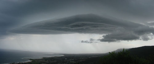
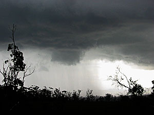
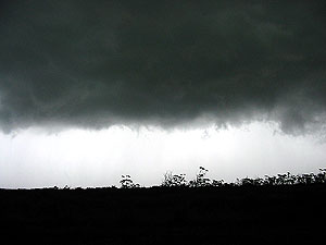
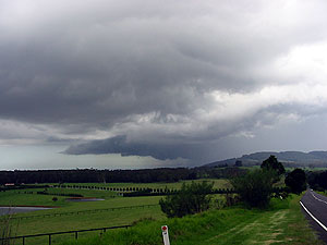
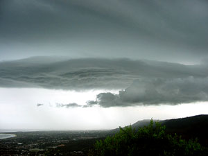
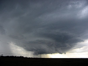
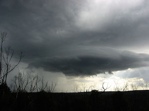
On top of the pass I could get a better scope of the situation. To the south of Robertson on the escarpment edge was a rapidly developing cell which was part of a convergence line of sorts. To the west of this line there was only weakish cumulus and some larger storms about 150kms distance to the west. I headed towards the cell near Barren Grounds - part of the Illawarra escarpment ( and the wettest ). The storm developed rapidly with a severe gust front developing. I encountered torrential rain, small hail and strong winds. Wanting photos and not hail dents I retreated northwards and watched the storm as it moved off the escarpment and onto the coast. I took interest in the fact that it did not die once off the highlands, in fact it still looked severe over the coast. Normally on my chases, once on the highlands I do not return to the coast as I have to contend with a frustrating mountain pass. However today was different, there was no seabreeze inversion. There was a seabreeze, but it was still warmer on the coast then the highlands. In late Spring - Summer the reverse is more often the case with the highlands sitting above the seabreeze inversion actually being hotter - this is a convection killer for the coast. Today I chose to return to the coast. Twenty minutes later at the base of the pass I was rewarded with the view of a developing line of convection over the southern areas of Wollongong.
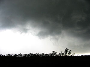
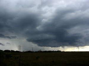
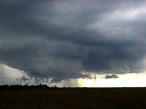
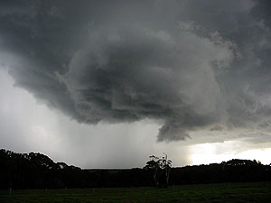
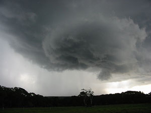
Although anvil and rain outflow was to the E/SE, the small updraft core of the storm moved NE along the escarpment. On two to three occasions when it looked like weakening it would kick again. I followed the line from Wollongong's southern suburbs, into Wollongong itself then back up the Illawarra escarpment north of Wollongong. North of Wollongong and just SW of Darkes Forest the storm reached another severe phase with strong winds and a rotating updraft base. The rotation was not supercell, it was in my opinion just surface convergence. At Darkes Forest township I was lucky enough to experience some rain free base CG's. Several bolts came down in small a radius with canon blast thunder.
An excellent chase day where I got to follow the one storm system for three hours.
