Michael Thompson's Australian
Storm Chase Diary
Thunder Downunder 2005 - Day 2, 26th November 2005
Forbes to Narrabri
 At
4:00am I awoke briefly to the sound of rain in Forbes, a weak line of
storms had developed in a 200 kilometre line and was moving NE rapidly.
This was just the first portent of the myriad of small factors that would
come into play today. At sunrise it was clear and all evidence of the
earlier rain had disappeared. We waited at a roadside stop just north
of Forbes for Victorian chasers Clyve Herbert and Jane O'Neil to catch
up. The wind which had been NE, slowly veered NW.
With a full crew at 11am we made the decision to head NE, hoping to gain the more humid NE wind again. This ended up quite simple and by Parkes just one hour from Forbes we were back in NE winds.
The sky however did not look as it should, as we encountered higher dew points the convection began to actually clear. Our initial target area of Gunnedah - Mallaley was looking quite grim with nothing but cloudless blue in that direction. The northern tablelands some 250 kilometres further away were draped in a series of multicell storms, but road conditions would have made a dash to the tablelands futile.
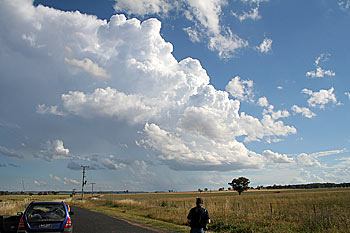
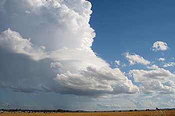
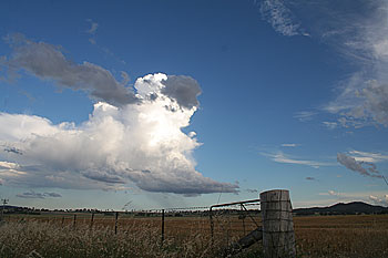
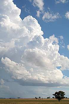
Near Dunedoo we passed under an isolated area of congestus towers. These grouped and one small isolated storm developed. The storm was quite photogenic, it teased us with some explosive updrafts, only to partially collapse and do it all again, and again. The speed of the updraft pulses were out of place with the weak storm. It was clearly evident that the storm was struggling against unfavorable middle to upper dynamics, the surface instability was evident in the explosive nature of the updrafts, but it just was not going on with it. Without delving into models it was evident that we were chasing a thermal ridge stuck between the mornings upper thermal trough, and a front / trough further west.
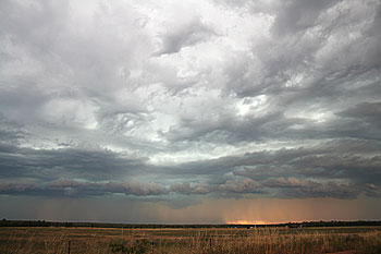
Whilst watching this small storm a growing line of cirrus stretching north to south on the western horizon began to take my interest. The AM radio suggested this line was very lightning active. Leaving the Dunedoo storm struggling ( it was still going 30 minutes later ) we headed towards Mendorain to intercept the suspected line of storms westward. These storms were very moisture starved and high based, but were trying to organise themselves into a weakish squall line. Near Gilgandra we let the line pass overhead with numerous lightning strikes and brief heavy winds.
From Gilgandra the squall line intensified and became briefly severe, perhaps tapping the capped energy eastwards. Just east of Gilgandra tree branches were across the road. For the next two and half hours our journey to Narrabri was accompanied by a brilliant night lightning display.
