Michael Thompson's Australian
Storm Chase Diary
Thunder Downunder 2005 - Day 8, 2nd December 2005
Crows Nest, QLD to Grafton,
NSW
All photos clickable for larger size
The scene at Crow's Nest ( Toowoomba ) in the morning was not that inspiring. Overnight, large storm complexes had developed over the plains westwards. This had resulted in complete overcast for much of south eastern Australia. The wind had also turned a less humid NW. Victorian chasers had to be back in Melbourne at end of the next day - at this stage they were close to 2000km from home. This ruled out a trip NW back into Queensland to intercept a clearing line aligned to a fast moving longitudinal trough.
We decided to head south not expecting much. At the New South Wales ( NSW ) town of Tenterfield the scene was very similar to Toowoomba, complete and utter overcast and cool. The AM radio however suggested some weak discharges, we took a gamble that these were storms developing on the north coast of NSW. From Tenterfield on the northern tablelands to the coast is a two hour drive - but two hours of restricted speed corners and mountains. The occasional glimpses east that we did get however revealed clearer patches in the overcast, and better yet some healthy cumulus cells.
|
From
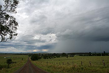
the western flank the storms appeared high based and slightly moisture
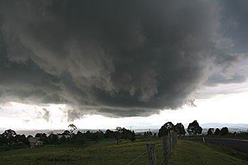
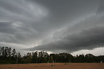
starved, contrast this the the NE flank in the first picture above.
|
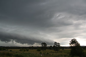
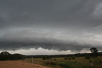
What appears to be a gust front or shelf cloud is actually inflow across the NE flank of the storm. The low cloud is moving parallel to us from right to left. |
From the western flank the storms did not look that impressive. We pushed NE into the storm only to find torrential rain and flash flooding. This continued from the town of Casino to Lismore. At Lismore the western suburbs of the town were in heavy rain and some nuisance street flooding, whilst the eastern side of town was still dry. The NE edge of the storm was in utter contrast to the western flank. The inflow interface was almost at ground level and the air saturated.
We proceeded off the plateau and down onto the sugar cane flats for some photos. From the pictures it would appear that a gust front was hurtling towards us, but in fact the cloud marked a line of inflow along the NE flank of the storm. At one stage weak cyclonic rotation could be seen, but no funnels.
The storm passed south of us and out to sea. We then proceeded to Grafton where we spent our last night. At 10pm a squall line passed through town with brief rain and some lightning. This was the remnants of a much larger squall line that affected much of inland NSW earlier in the evening and afternoon.
The next morning for our trip home the entire state of NSW was under dry W/SW winds and clear skies.
|
More
of the storm near Lismore
|
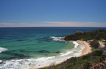
Only a vague remnants of the trough line can be seen on the far eastern horizon. Nambucca Heads, NSW |
