
Pictures
without time / date can be clicked on for a larger image - thanks to
Jane O'Neill for supply of some digital images
Day
5, 29th November 2000 - Gunnedah to Gunnedah, 250kms, Severe storms
widespread throughout eastern New South Wales. We encountered a severe
multicell near Gunnedah.
THINGS
ARE LOOKING GOOD
As far back as 3-4 days earlier we had our eyes
and hopes on today's trough system and strengthening jet stream. We
started the day with a strategic move to a lookout near the town of
Quirindi. We chose this area as it affords views over three different
geographic zones, to the west you look out over the Liverpool ranges
and plains. To the south you can keep an eye on the Hunter Valley activity,
whilst to the north you can also sight any activity that may build on
the Northern Tablelands.
AN
EARLY START
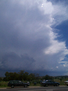
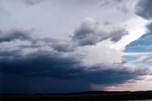
By 12.30pm
a storm was active to our west, It started on a high part of the Liverpool
ranges called Coolah tops and was now drifting east onto the hot plains.
There was also major activity apparent in the Hunter Valley with a storm
complete with flanking line visible. It was a cruel choice for the chasers,
one group wanted to head to the Hunter where supercell chances where
higher, myself and others wanted to sick to the the storm we had in
front of us. In my estimation it was already hailing, but at the same
time looked to be now outflow dominated. A radar update informing us
that a storm in the Hunter had gone ' red ' on radar saw the chasers
split. ( Red equated to rainfall rates of 100mm an hour or greater,
usually hail ).
With
the chasers in three groups our smaller team stuck to the Quirindi storm.
After about an hour it had indeed weakened, but its outflow boundary
had penetrated into the hot plains air ( 32C ) lifting it and fresh
activity was rapidly growing on the northern flank of the old storm.
Over the next 6 hours we followed this erratic outflow line, as cell
after cell pulsed then died only to be replaced by another just a little
further north. Anvil thunder was almost constant, surprising for such
small storms.
 THE
CHASE MOBILE GETS A WASH & HAIL WAX THE
CHASE MOBILE GETS A WASH & HAIL WAX
Around 6.30pm on the outskirts of Gunnedah a more organised and larger
storm developed. As we followed the storm out of town towards the NW
we were taken by surprise by a strong microburst. At one stage I had
to pull over as I simply could not see the road ahead. Small twigs were
flying horizontally with the rain and now small hail. The wind had some
gust that may have topped 100kph, parked on the side of the road the
wind was strong enough to blow rain from the windscreen in large rivulets,
as if driving at full speed with rainX. In the space of several seconds
the wind completely reversed direction blasting the other side of the
car with the rain and hail mix. When the wind settled we headed NW in
attempt to get out of the rain so we could get photos. It soon became
apparent that winds had indeed been strong with several large tree branches
down, some completely over the road. We later learnt that a tree fell
onto a house, whilst another farmhouse lost it's roof.
Over
the next 90 minutes the storm persisted east of us and pulsed several
more microbursts. We headed back to town with the intent of calling
it a day, but decided on one last look on the outskirts of town. Electrical
activity had now picked up, so we settled down to watching the lightning
show until 9.30pm when finally we driven indoors by a small cell developing
over our heads.
A great
day, and catching up with the other chasers by phone that revealed that
all scored severe storms. The Hunter crew had scored a damaging supercell.
I was pleased that all crews suceeded.
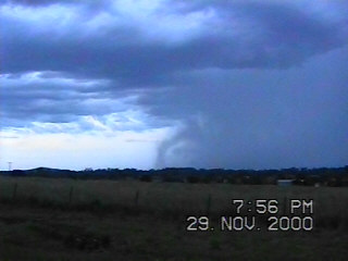
The
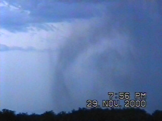
images below show some turbulence in a weak microburst.
The
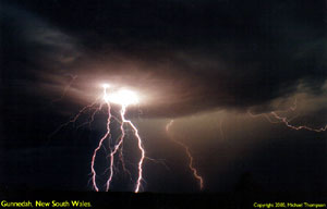
storm persisted for an hour or two after dark giving a lovely lightning
show ( click to see full image )
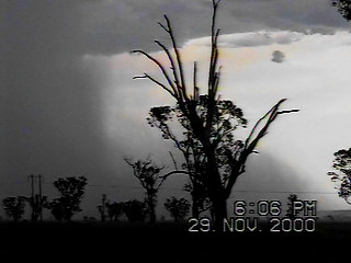
A
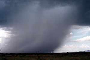
photo taken earlier in day shows a rain shaft being undercut by outflow
of a storm further south ( right )
TO
DAY SIX
MAPS
& STUFF
The
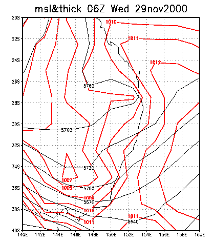
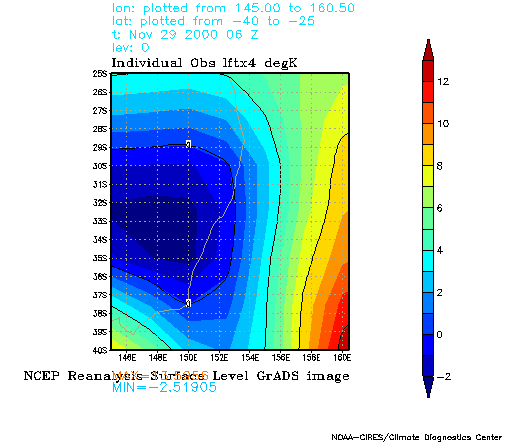
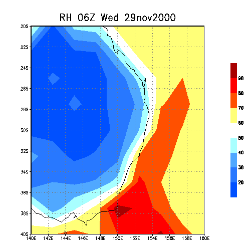
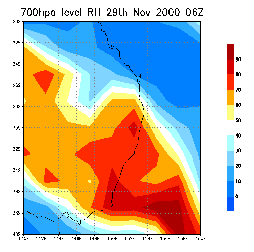
MSL reveals a significant trough over most of the state. Lift Index
figures were also negative across much of the state. You would have
scored a thunderstorm anywhere except for the far NE today. LI's are
questionable considering supercell storms formed in the upper Hunter
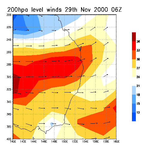
valley ( Approx 32.30S, 151E ). Helping the supercell situation were
favorable upper level winds - see the 200hpa winds chart, note that
the scale is in metres a second, (* 1.942 to get knots ). This was the
first day of the chase in which upper winds were at least moderate.
  
|