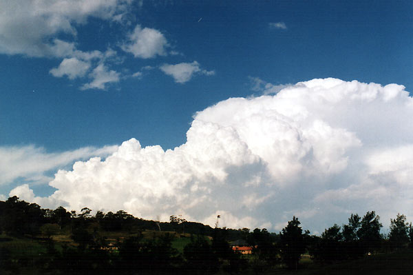
This storm became severe about 45 mins after this photo, giving very heavy hail |
|

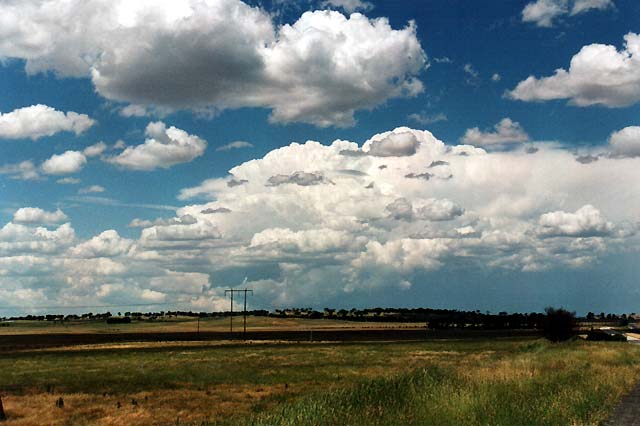
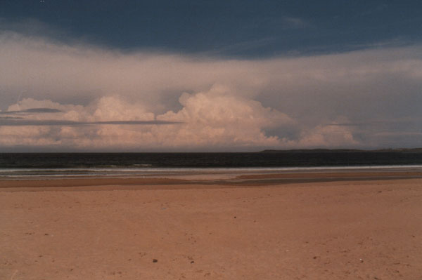
This weak cumulonimbus has formed as cool, dry continental air blowing off the land passes over warmer moist air over the ocean. |
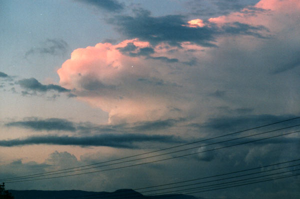
This cumulonimbus is affected by strong wind shear. The updraft is almost 45 degress to vertical. Such conditions can lead to severe storms, as was to case with this storm. |

Cumulonimbus with pileus cloud - pileus indicates that updrafts are very strong. ( Yamba, New South Wales ) |
Not all large cumulonimbus are thunderstorms, this system brought very heavy rains with flash flooding, a cirrus crown is clearly visible. |
|
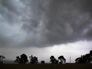
A gustfront - cloud that is formed as cooler air pushes away from the thunderstorm downdraft / outflow. |
This cumulonimbus displays a large rock hard anvil with some back building. There is also a flanking line feeding into the storm. |
|
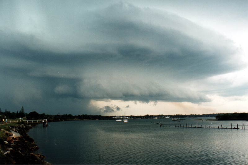
A storm with severe features - most notably the downburst & greenish tinge, which can indicate hail. ( Yamba, New South Wales ) |
Cumulonimbus Calvus - the stage immediately before glaciation and anvil formation. |